
Google launches new satellite image AI tool, alarming researchers
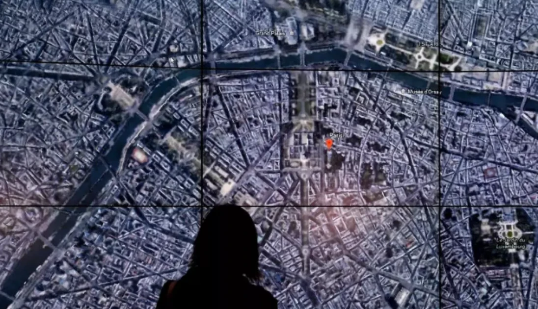
This April 18, 2017 file photo shows people viewing a Google Earth map of Paris, France at an event at New York's Whitney Museum of Art © TIMOTHY A. CLARY / AFP

Audio By Vocalize
Google announced a new feature allowing Google Earth users
to generate AI visualisations on top of the service's satellite imagery,
sparking concerns from researchers and open-source intelligence experts about
the potential for disinformation.
The "create image" tool, rolled out Thursday,
integrates Google's Nano Banana 2 image-generation technology to let users zoom
into locations and build images in seconds based on Google Earth satellite,
aerial and 3D-mapping data.
The company unveiled the feature as a way to "visualise
history, create real estate plans and more." But disinformation
researchers are warning it could enable bad actors to misuse Google Earth -- a
key resource for fact-checking and verification -- to create realistic
geospatial fakes.
"Google spent 20 years building the reference the world
checks against," digital investigations expert Henk Van Ess wrote on
Substack. "Today it added a button that makes things up."
"The forgery does not have to look convincing on its
own," Van Ess added. "It inherits the credibility of the map it was
born on."
Brady Africk, a research analyst at the American Enterprise
Institute specialising in satellite imagery analysis, told AFP the Google Earth
update "makes it easier to generate convincing fake satellite imagery that
can spread quickly online and mislead the public."
"These AI-generated fakes, growing more common, may
also erode public trust in satellite imagery, and make the jobs of journalists
and researchers more difficult."
In a response to AFP on X, Google said images created with
the feature include SynthID digital watermarks, invisible markers embedded in
media generated using the company's artificial intelligence tools. Users can
ask Google's Gemini chatbot if a SynthID is present.
"We take misinformation seriously," the company
wrote.
Google's statement said the company prevents "image
creation on harmful topics" and its AI policy instructs users against
"misinformation, misrepresentation or misleading activities."
Yet AFP's tests of the feature Friday were able to fabricate
satellite images that could have serious global consequences: an explosion in
Paris, a nuclear site in Iran, a bomb crater in Russia and an Islamic State group
training ground in Syria.
The tool also fulfilled prompts to visualize other fake
scenes, including floods across Bangladesh, a migrant caravan camped at the
US-Mexico border and a suspicious warehouse housing vans in Georgia -- one of
several states US President Donald Trump has falsely accused of widespread
election fraud.
Similar fakes have had real-world impacts. In 2023, an AI
image depicting an explosion at the Pentagon briefly rattled the markets.
Early in the US war with Iran, an AI-altered satellite image
depicting a destroyed US military base garnered millions of views across
platforms.
"I cannot stress how irresponsible this is," Ross
Burley, executive director of the London-based Centre for Information
Resilience, told AFP. "Trust in satellite imagery has taken decades to
build and could be irrevocably damaged overnight."
The group is calling on Google to reverse the decision,
Burley said.
GeoConfirmed, a volunteer-driven open-source intelligence
project that verifies visuals from conflicts around the globe, also urged
Google to reconsider.
"We are already observing individuals exploiting the
new Google Earth web tool to make military positions, relabel buildings as
schools, and experiment with manipulating the information environment,"
the group wrote on X.
"The primary, and perhaps only, practical use of this
tool appears to be the creation and dissemination of mis- and
disinformation."
Join the Discussion
Share your perspective with the Citizen Digital community.
No comments yet
This discussion is waiting for your voice. Be the first to share your thoughts!