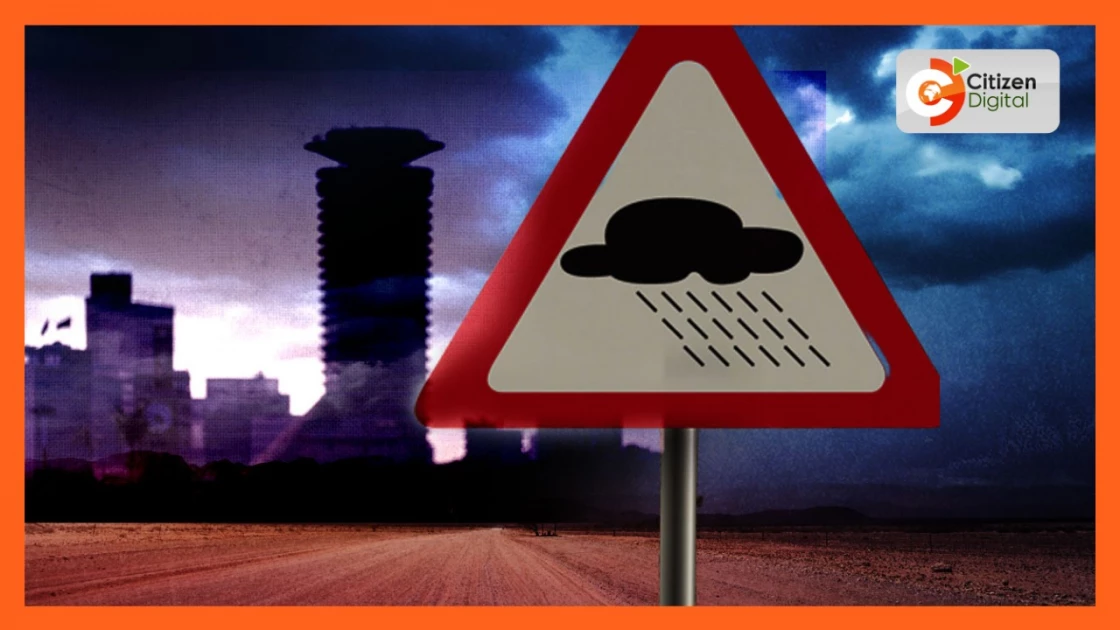
How Kenyans should be prepared as El Nino expected from tomorrow


Audio By Vocalize
It’s a phenomenon that typically occurs every 3 to 5 years and causes excess rainfall and flooding in the East Africa region. The worst in recent memory was back in 1997 and in 2006.
So with over 99 percent chance of likelihood which is virtual certainty, how can we best prepare?
The Met Department mapped out several areas likely to be flooding hotspots including Nyakach, Nyando, lower areas of River Nzoia, Winam Gulf and lower areas of River Sondu in Western Kenya.
In the Rift Valley region, flooding is likely to occur in Gilgil, Narok town and Suswa while the coastal towns of Mwatate, and Tana River Delta have also been identified as high-risk areas.
Other areas include Lodwar and Lokichar in north-eastern Kenya where flash floods are expected to be prevalent due to a high number of seasonal rivers, as well as major urban centres like Nairobi, Naivasha, Nakuru and Mombasa.
Landslides are expected in parts characterised by water-logged soils such as West Pokot, Kericho, EIgeyo Marakwet, Mt Elgon, Narok, Nakuru, Baringo, Murang'a and areas around Kilungu in Makueni County.
We wanted to get a better understanding of this seasonal weather phenomenon and why it’s caused a bit of concern this year. Here now is our special report on the El Niño rains.
This was the situation back in 1997 when heavy El Niño rains hit the country.
The Kenya Meteorological Department issued a forecast for the 1997-98 El Niño event as early as July that year.
Kenyans thought it would subside in a matter of days or weeks but they sustained until February 1998.
Lives were lost, property destroyed and livelihoods adversely affected.
“The 1997 EL Nino event was quite significant because it affected the globe. We usually use an index and for the month of August this year it was 0.8 of course we know for 1997/98 was 1 point something,” Dr Richard Muita, the assistant director in charge of Climate Services at Met Department said.
Though the Met Department’s projections don’t indicate this year’s El Niño event will be as severe as the 1997 one, just what causes it in the first place?
“It is when a warming of the ocean surface, or above-average sea surface temperatures, in the central and eastern tropical Pacific Ocean, occur. Think of it when you boil water, what happens, it rises right? So it’s the same thing but this is happening across a huge surface area of water. This then changes wind patterns and as a result, causes rains in East Africa and the Horn,” Muita added.
The 1997 El Niño event remains a lesson for the country, which at the time had no plans or policies in place to deal with the associated flood hazards.
This time, however, it’s not taking chances. The government has estimated that it requires more than Ksh.10 billion to manage the effects of the upcoming El Nino, especially in Asal areas.
Urban areas like Nairobi see informal settlements often bear the brunt of such extreme weather events due to swelling rivers that snake through the city.
Kibra is one of 436 hotspots identified by the county of Nairobi as a flood-prone zone. According to the county projects roughly 200,000 people are at risk of being displaced due to the heavy rains. It’s the reason they are racing against the clock to put preparations in place.
In Ngumo Estate, these youth recruited under the Green Nairobi team are clearing ditches ahead of the rains. This area often acts as a basin collecting the runoff waters from heavy rains from Ngong’ Road.
“We are working with the INspectorate to identify buildings that aren't structurally sound,” Ibrahim Otieno - Environment Officer - Nairobi City County Government said.
City Hall plans to establish temporary shelters as alternative measures.
The Kenya Meteorological Department has warned of a 99 per cent likelihood of high rainfall across parts of the country as El Niño makes a return this year.
The rains are set to peak in mid-October and go on until January next year.


Leave a Comment